Exhibition Called
Migration, settlement and acclimatisation are processes fundamental to the development of Europe. One aspect of this history is the settlement of regions in eastern and south-eastern Europe by immigrants from Germany, beginning in the Middle Ages. Members of other ethnic groups also established themselves in these areas. From 1683 onwards, Germans emigrated to North America as well.
Only after that did the largest waves of migration to south-eastern Europe and Russia occur. This pattern of movement came to an end during the 19th century, when millions went overseas.
German settlement in the east began in the Middle Ages and was generally a peaceful process. Among its pioneers were monastic orders, notably the Cistercians. Farmers, merchants and craftsmen were recruited by rulers and regional landowners. The new inhabitants were expected to improve underdeveloped areas and secure border regions. Extensive privileges were granted as an inducement. Those who left home to seek their fortune in distant lands did so for a variety of reasons.
This exhibition spans a period of 800 years. In geographical terms, it takes in half of Europe, from the Baltic Sea to the Black Sea and from the Bohemian Forest to the Caucasus Mountains. It deals with areas of settlement in which Germans lived together with other ethnic groups and which did not belong to the German Empire that was founded in 1871. It examines the economic, social and cultural developments that made immigration attractive, alongside those that the newcomers themselves initiated or accelerated. A variety of urban and rural ways of life grew up in such regions. In multi-ethnic towns and countryside, people of various origins and different ethnic or religious groups lived peacefully side by side for a very long time.
Exhibition topics:
- The Forest as a Resource and Spa Culture in Bohemia and Moravia
- The Nobility in the Baltic Region
- The Fortified Churches of the Siebenbürg Saxons
- Germans in the Western Carpathians
- Germans in the Middle Danube Region
- Łódź – the Manchester of Poland
- Railway-Building in Lithuania
- German-Jewish Culture and Literature in Galicia and Bukovina
- Germans in Bessarabia, around the Black Sea and in Central Russia
Interactive Map of Europe
German Life in Central and Eastern Europe
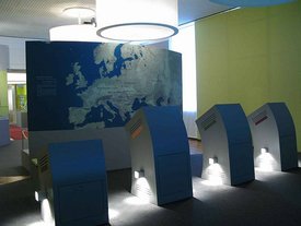
The Interactive Map of Europe “German Life in Central and Eastern Europe” provides an insight into regions where, often since the Middle Ages, Germans have settled.
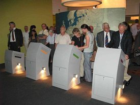
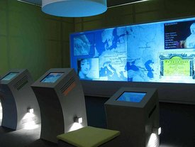
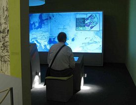
A topographical map of Europe is projected on a 1.8 x 4m large projection screen, on which 17 regions are marked. In front of the projection screen four operation terminals with touch sensitive screens are located. Each terminal has an assigned projection window of the same colour on the main map.
The map can be navigated with a compass symbol on each operation terminal. With a click of the finger on an area the animation starts and in the associated terminal’s projection window a captioned picture animation shows insights into the history of the Germans in this region. One learns something about specific landscapes, areas and important figures. For some regions, once the main animation is over, it is possible to pick other smaller regions within it, to which further similar animations are available. In each animation explanations are to each picture are shown as subtitles.
The Interactive Map of Europe Exhibition Module was developed and constructed jointly by ‘Pandora Neue Medien GmbH’ and ‘Facts & Files – Historical Research Institute Berlin’.
In the future a modified form will be shown in Berlin.
